Mapping a School

This product is not currently available.
To help you find what you're looking for, see similar items below.
This product has not been rated yet.
0 reviews (Add a review)

Delivery information
We are only able to deliver orders to school addresses
- FREE delivery for schools*
- Delivery within 10 working days
Book Club orders
- FREE delivery to schools
- Books will be despatched after the school's order is confirmed
*We do not charge for delivery, but your order may incur additional customs costs.
Categories
Product description
Full of hands-on activities to help you learn all about map skills whilst also learning about the features of a school. This book will show you what a bird’s eye map is by looking at aerial photos of a school; how symbols make a map clearer; how compass points can help you find your way around a school; how a plan map shows features of a classroom such as shelves, desks, tables and cupboards; how scale is used to measure a school or a school hall; how to use compass points in the playground; how land use maps work by mapping the rooms in the building; how to use grid references to find classrooms in a school; how to use street maps to find your way from home to school or use transport maps to get to school by bus or further afield on a school trip. Illustrations by Sarah Horne in an amusing and lively style are combined with photographs to really capture a child’s attention helping them to learn these important map skills.
Product Details
Format
Hardback
ISBN
9780750285780
Date published
February 5th, 2015
Other details
- 32 pages
Condition
New
UK editionReviews
This product has not been reviewed yet.
Add a review
Similar items
-
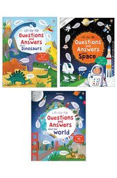
 Lift-the-flap Questions and Answers about Our World
- usd prices
- Price: $14.00
- gbp prices
- Price: £9.00
-
3books
Usborne Lift the Flap Q&A Pk- usd prices
- Price: $24.50
- gbp prices
- Price: £16.00
-
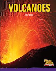
Fast Forward Purple: Volcanoes (Non-fiction) Level 19
- usd prices
- Price: $13.17
- gbp prices
- Price: £8.55
- Not available to buy with Rewards
-
18books
PM Red: Mixed Pack (PM Stars) Levels 3, 4, 5, 6 (18 books)- usd prices
- Price: $155.23
- gbp prices
- Price: £100.80
- Not available to buy with Rewards
-
6books
PM Sapphire: Mixed Pack (PM Non-fiction) Levels 29, 30 (6 books)- usd prices
- Price: $78.54
- gbp prices
- Price: £51.00
- Not available to buy with Rewards
-
4books
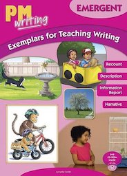
PM Writing Emergent: Class Starter Pack- usd prices
- Price: $366.83
- gbp prices
- Price: £238.20
- Not available to buy with Rewards
-
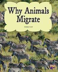
PM Gold: Why Animals Migrate (PM Non-fiction) Level 21
- usd prices
- Price: $11.32
- gbp prices
- Price: £7.35
- Not available to buy with Rewards
-
6books
PM Turquoise: Mixed Pack (PM Plus Non-fiction) Levels 18, 19 (6 books)- usd prices
- Price: $67.91
- gbp prices
- Price: £44.10
- Not available to buy with Rewards
-
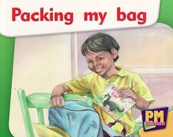
PM Magenta: Packing My Bag (PM Starters) Level 2, 3
- usd prices
- Price: $8.62
- gbp prices
- Price: £5.60
- Not available to buy with Rewards
-
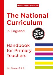
National Curriculum Handbook: The National Curriculum in England (2020 Update)
- usd prices
- Offer price: $38.40
- RRP: $38.42
- gbp prices
- Price: £24.95
-
6books
PM Ruby: Mixed Pack (PM Non-fiction) Levels 27 & 28 (6 Books)- usd prices
- Price: $78.54
- gbp prices
- Price: £51.00
- Not available to buy with Rewards
-
PM Silver: Volcanoes and Geysers (PM Plus Non-fiction) Levels 24, 25
- usd prices
- Price: $11.32
- gbp prices
- Price: £7.35
- Not available to buy with Rewards

